
Goose Bay
Goose Bay is a 4x4km map in Squad. It was a rework of one of Squad’s most poorly-designed and unpopular map - Nanisivik.

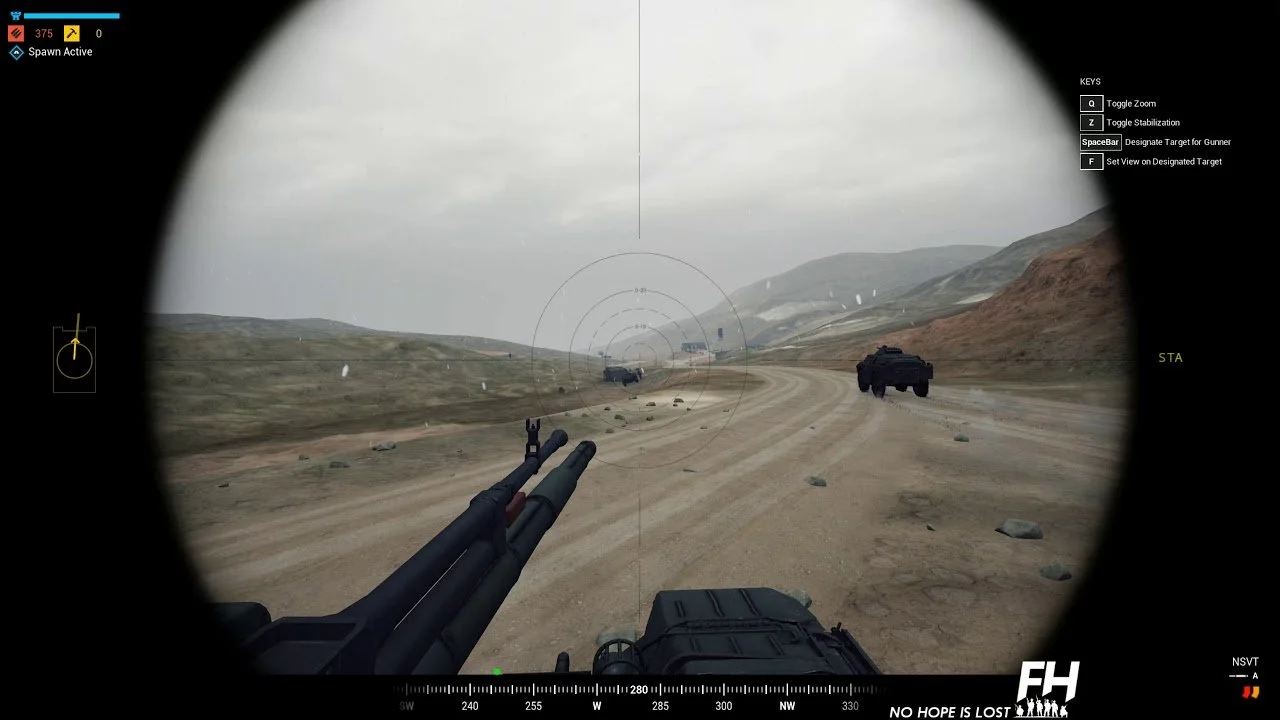
The main problem was the complete lack of cover for infantry, as it was a barren, arctic snowscape. Infantry players were mercilessly killed by players in vehicles from extreme distances.
My first step to fixing these problems and creating Goose Bay was to create a document that outlined my main concern with the map (lack of infantry survivability) and put down my thoughts into the contributing factors:
Drastic elevations creating powerful overwatch positions (especially for vehicles)
Lack of concealment for infantry
Lack of cover for infantry
Extremely long engagement distances

Then I created a plan for how I would address these concerns with my new iteration:
Drastically reduce elevation by altering the Z value of the landscape actor (this let me get much less elevation without losing the shape and sculpt of the terrain)
Move the setting of the map from Nanisivk to Labrador, add foliage for cover, and to create better flow between points of interest/objectives
Add more POIs and rocks for infantry cover
Create more interesting POIs along the middle axes of the map (these will be the most commonly fought-over POIs as each team’s main bases are located in map corners)
To create better flow on the map, I:
Identified existing and planned new POIs visually by using large, colored spheres and observed the map from above (the spheres are color-coded to indicate if they would be a first, second, third, fourth, etc objective in a series of connected objectives that teams need to capture in order)
I ensured they were evenly distributed across the map to ensure replayability of the map could be high (we randomize the objectives every time the map is played, so the more a POI can flow well into nearby POIs, the more variations exist)
I ensured flow by connecting POIs to adjacent POIs via easily recognizable pathways (ie. roads, power lines, streams, pipelines, treelines, fields, etc)

As I endeavored to improve this map on my own time, outside of working hours, I didn’t have support from the environment or tech art teams (except getting a new landscape material at the very end - thanks, Axton). Hence, I did my best to measure performance as I created the map (specially triangle and draw calls) to ensure I wasn’t making something unreleasable or unplayable on lower-end machines. Ultimately, performance optimization wasn’t at the level it should have been, but it was passable for release.
Upon release, the map was well-received as a huge improvement to the original map. Over two years later we implemented a voting system at the end of rounds of gameplay, which let players vote on which map to play next. Harvesting analytics data from that system gave us an additional data point for validation that we’d taken the map from our least popular map to one of our best mid-tier maps.


CFB Goose Bay
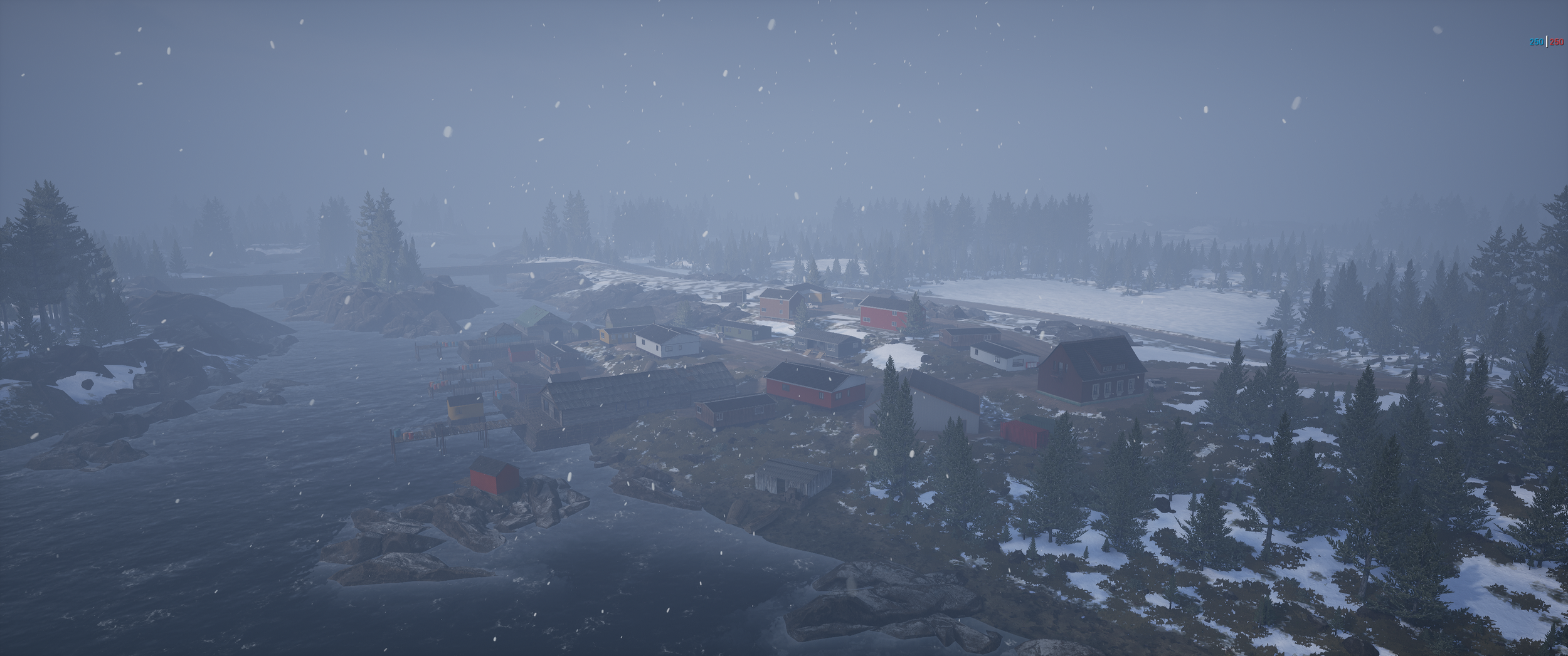
Fishing Village

Light House
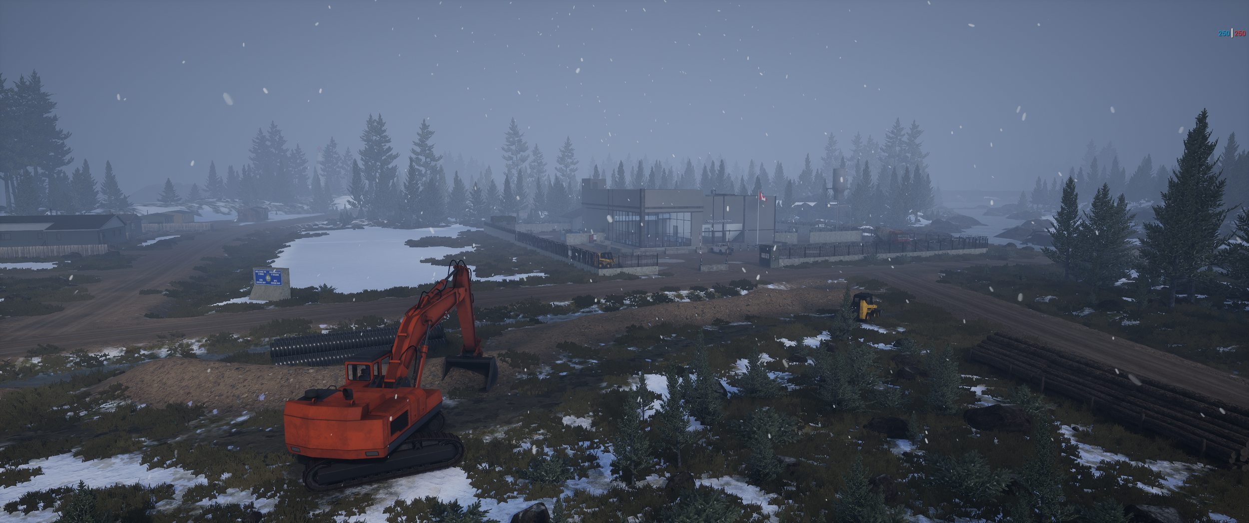
5 Wing HQ

Research Station

Drilling Site